History of Akrounta
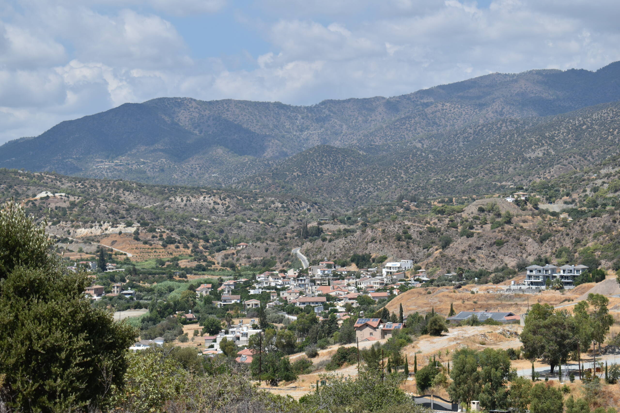
The community of Akrounta is positioned at a distance less than 5 kilometers from the roundabout of Germasogeia.
Based on the village’s geographical position, its name derives from the Greek word Akron (edge), which indicates a small town built on the edge of a valley.
The village’s name appears in numerous historical books and vignettes, while the interpretation of its origins varies. According to Nearchos Clerides, a scholar of Cyprus folklore, teacher, and author, the name Akrounta is one of the most ancient among Cypriot villages.
Land Consolidation
In December of 1970, the implementation of land consolidation got initiated. Akrounta was one of the very first villages in Cyprus that would implement this plan. 83,11% of eligible owners were in favor of it, being amongst the highest percentages in Cyprus. A new road network got also constructed, which would serve all new plots after the plan’s implementation.
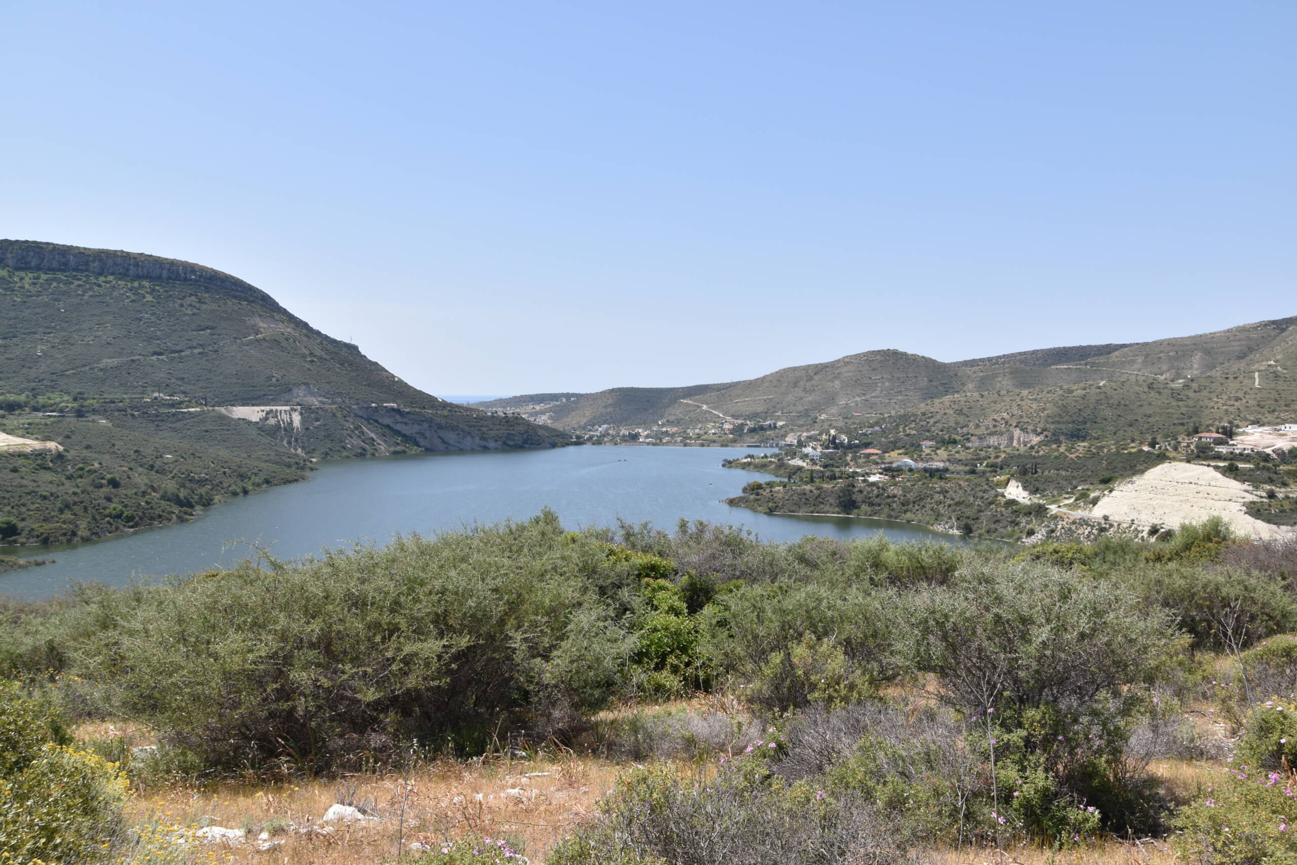
The average annual rainfall is 553 millimeters. The rainiest month is December, while the driest months are June and July, with just one millimeter of average monthly rainfall. Nonetheless, the small dam at the northwest of the village, with a 23.000 m3 capacity, and the Germasogeia dam at the southeast of the village, with a 13.600.000 m3 capacity, got constructed. These contributed to the watering of hundreds of acres of dry land, which had as an aftermath the development of irrigated crops. Such crops include citrus trees, fruit trees, vegetables, potatoes (mainly of spring harvest) and pastoral plants. Olives and wheat are also cultivated in the area.